Pipeline Trail/Carbon Canyon Loop • 13 miles • 3000 gain
There are certain trails that aren’t necessarily the most amazing, but they hold a certain place in my heart. This is one of them.
I can see Sierra Peak from my house and determined that I was going to hike up there after a particularly cold and stormy day left an unusual amount of snow half-way up the mountain. In fact, that was the only time I’ve seen snow there. So, I set out to find a trail that goes up and only found a couple posts online without a lot of detail. Main thing I read was that it was steep. I set out on an early morning that was fogged in with no gps or trail route, just Google maps which doesn’t cover the whole middle portion on Pipeline. Now, there is a map on AllTrails.
Parking is off Green River Rd at the Santa Ana River Trail. There are about 40 spots, usually pretty empty on a weekday, but busier on weekends because of the bikers. My car window was smashed here once and there is usually glass on the ground so, don’t leave any valuables in the car. This hike starts on the paved bike trail that runs between the freeway and the river. Most don’t enjoy this portion but I think it is unique and I always sing in my head to my favorite Blondie song: “I sit by and watch the river flow. I sit by and watch the traffic go”. After about a mile, turn off the bike trail and head up the wide space under the freeway bridge that takes you to the southern section of Chino Hills State Park.
From here, you have 3 choices: Head to the East to Pipeline Trail, go right to Coal Canyon or south on the Big Mo trail. You can easily add Big Mo in after the rest of the loop if you have a couple flat miles still left in you. Big Mo takes you through the usually dry wash where you meet a dead-end at the canyon walls and will find a 20 ft waterfall. The waterfall isn’t typically much more than looking like a garden hose is running over the wall, but the water is cold and a nice place to dunk your head after miles of hiking! Come after the rain and you will see the water pooling further down in to the wash that you must hike through and get some relief from the sun as you move further up. My only issue here: watch for snakes as there are lots of rocks and the attraction of the water.
But, back to the peak. On my first hike here, I headed up Pipeline. It is all fire road the whole way up, no shade and steep! From the beginning of Pipeline, it’s about 3.7 miles up, with 2,300 gain. There are 5-6 pretty serious inclines, which motivated me to get all the way up the trail – because there was no way I wanted to turn around and go down that same steepness. I didn’t take trekking poles that day and the dirt is really loose. It’s not crazy bad but, one mis-step could certainly send a person tumbling down and I didn’t want to go that route! The trail is easy enough to follow – there are a couple possible turns but just stay to your right and going uphill. Eventually, you’ll see the antennas at the peak and you’ll know you’re getting closer. Some more uphill and you’ll be at Leonard Rd, which turns into N Main Divide Rd at the peak access turnoff. Just head toward the antennas, and you’re there! Most likely, you’ll have the peak to yourself on a weekday and pretty good chance on a weekend too. There used to be a cement slab on the east side that was great for a picnic and hanging out with an amazingly friendly group of curious hummingbirds. The forest service has installed a peak sign in the past year, much like all the other peaks in the Santa Ana Mt range.
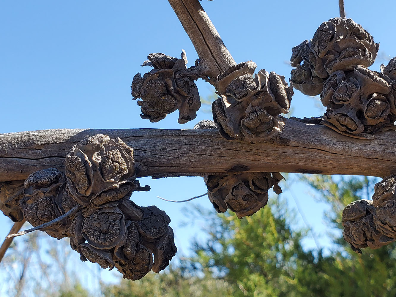
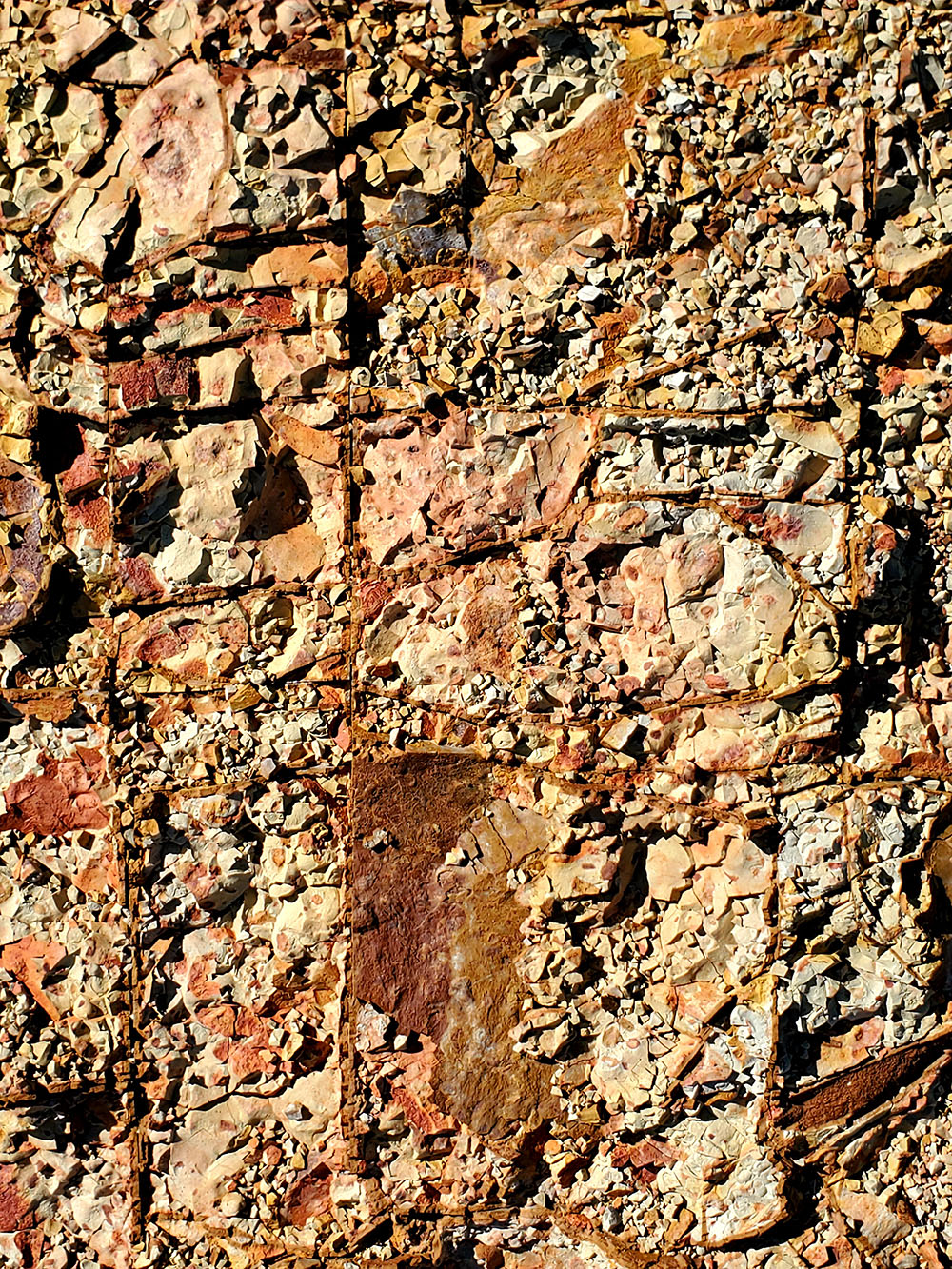
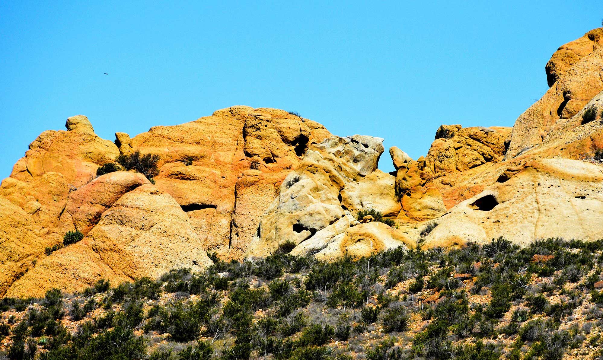
Finishing the rest of the loop will take you to Coal Canyon and my favorite part of this hike. This area is home to a uniquely isolated tree, the Tecate Cypress, which only grows in this section of the Santa Anas and along the border areas of San Diego and Baja CA.  It only populates through wildfire events opening it’s cones and, due to these wildfires becoming more prolific, the trees now don’t often have time to grow to maturity before being burned again. So, if you’re into trees, that’s kinda cool. But, what I really enjoy is rocks and Coal Canyon has some cool ones. Sometimes called “Mini Moab” or “Picnic Rock” both names are fitting. Climb out on the rocks and explore or take some cool pictures. There are memorials and hidden caches to be found for the explorers out there. Just stay on the side with the rocks and don’t cross into the marked area that is closed. It is a sensitive habitat that is still in regrowth after years of open air mining. You can see the dark red-orange on the side of the mountain from the mined minerals and colors in the gravel ranging from those reds, to pinks and purples. It’s a beautiful contrast to the yellowy
  rocks and gray branches sticking out around the area. Also, beware: there is a colony of bees that have set up shop for years in the southernmost section of rocks. I’ve walked out past them on occasion, but not sure it’s worth it for a potential sting! While you’re up there, see if you can spot my rock heart. It’s been changed and added to over the years by others, but it’s still there after 3+ years! If you are just interested in visiting Picnic Rock, here’s your AllTrails map.
After enjoying the rocks, head back down the rest of the fire road enjoying the views of the San Gabriel Mountains, Chino Hills State Park and the surrounding area. Once you get back to your starting place at the TH, I’m not gonna lie: the mile back on the paved bike trail feels more like 3 miles on a hot day. But for me, the river, the freeway, the solitude, the steepness, the cool rock formations, unique trees, mineral colorations, and hike to a canyon wall waterfall make this a gem! I’ve hiked many times just to Picnic Rock to enjoy the beauty of this special and largely unappreciated corner where Orange & Riverside Counties meet.
No Bathrooms, No Water, No Shade. Free parking.


